

Adventure Above the Clouds In Taiwan
Crossing frigid rivers, bounding across sharp rocks, and climbing above the clouds - Alex and his friends find bikepacking adventure in Taiwan.
Words and photos courtesy of Alec Gates.
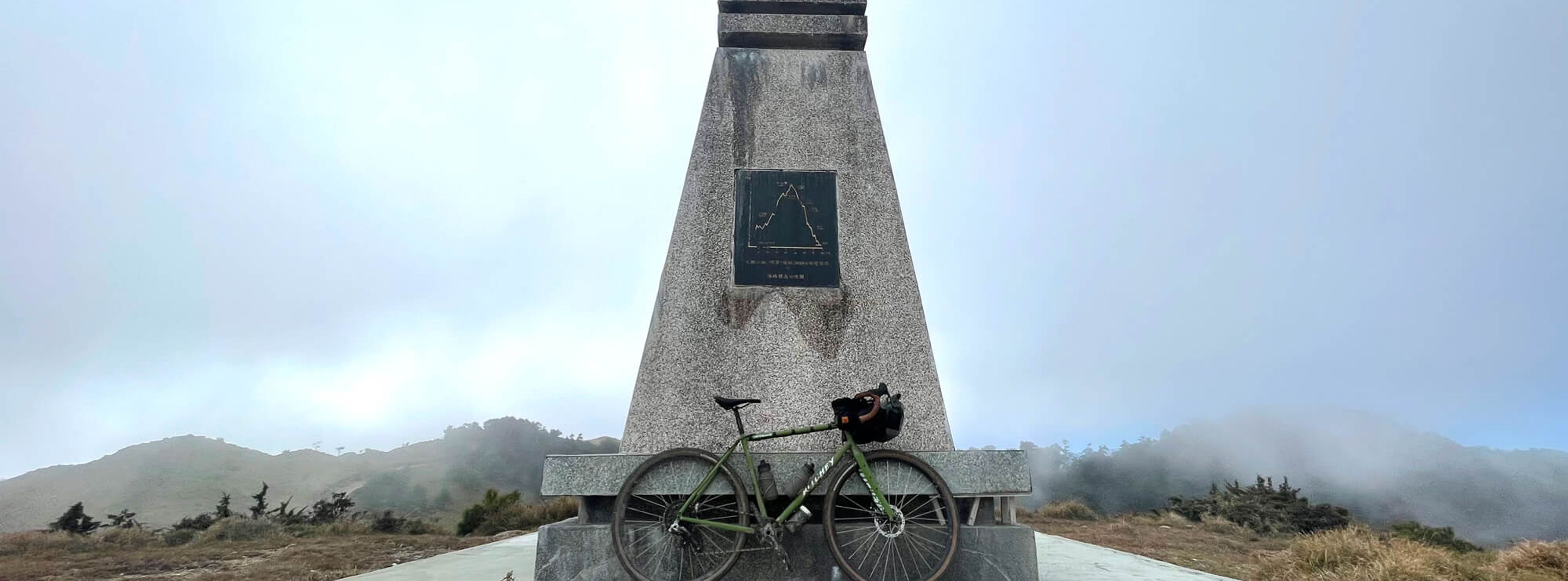
It was one of the most difficult routes I have ever done. Danda is a 57km trail that climbs up to 2,951m. It is used as a trail to help service the electrical power lines that cross Taiwan. It is under constant repair and the trail is never the same month to month. After many earthquakes and typhoons, the road is in such disrepair.
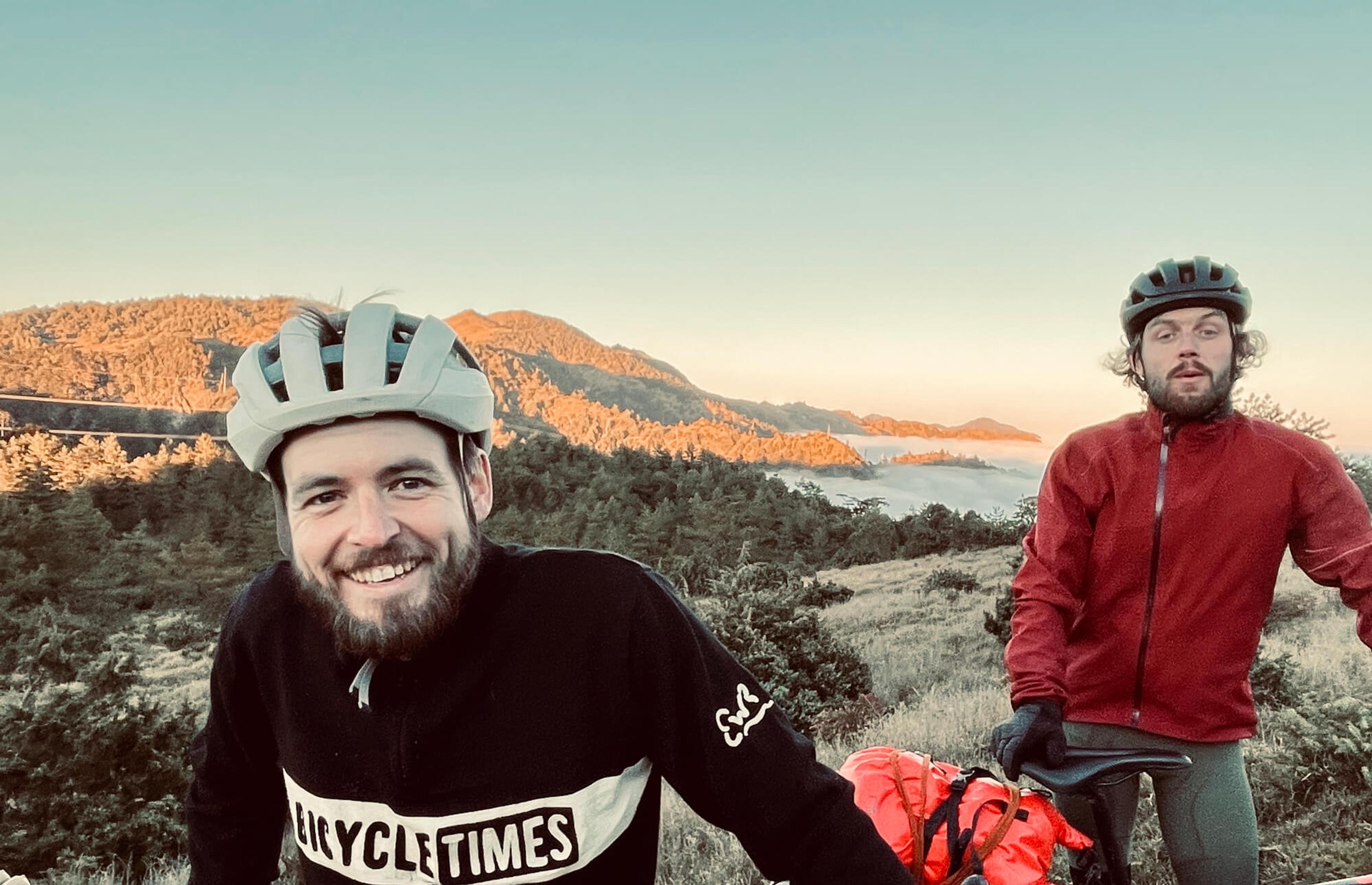
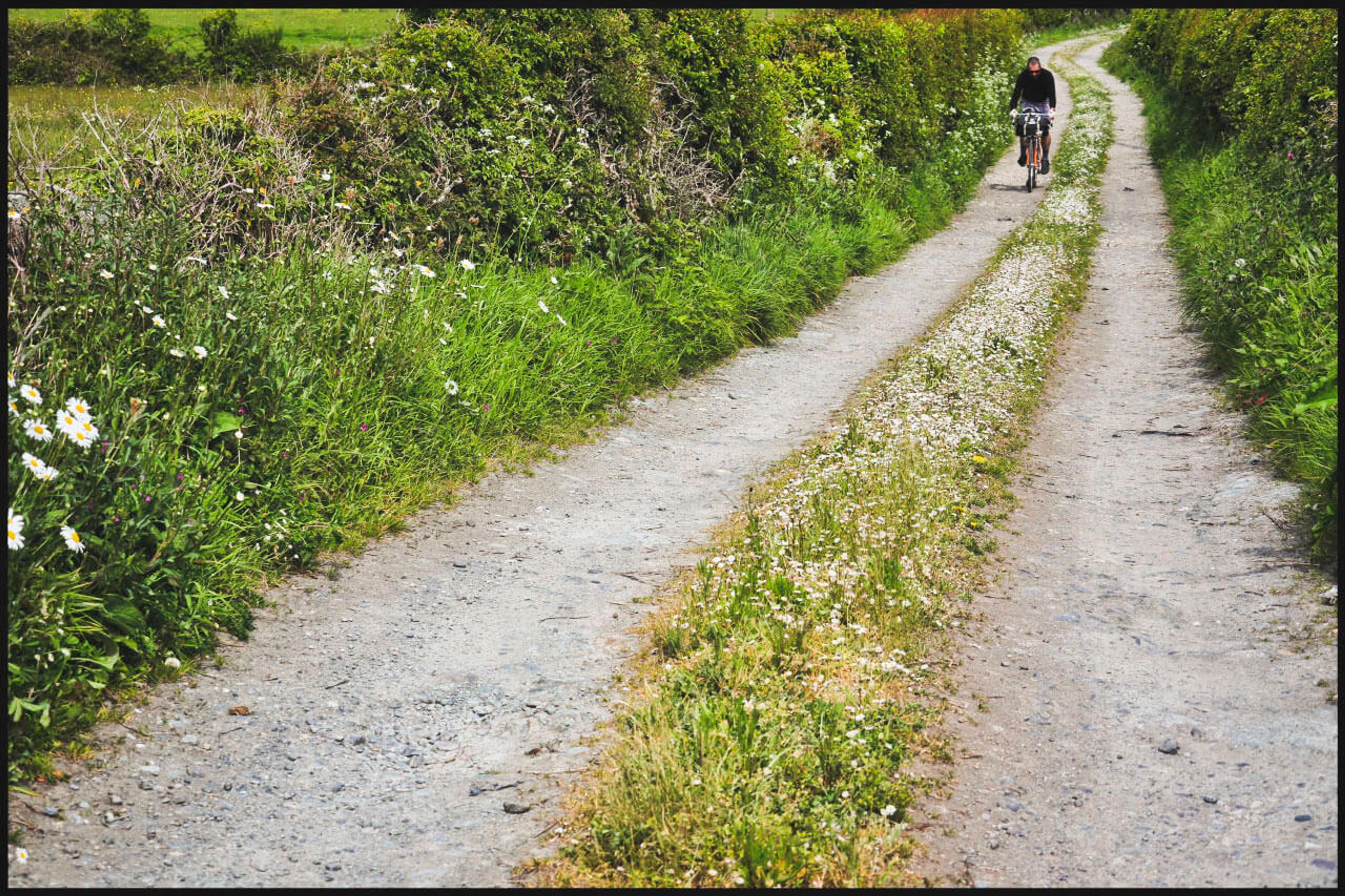
We set off early in the morning towards the trailhead. My Ritchey Outback was loaded up in a lightweight bike packing setup. My food, water, warm clothes, tent, sleeping kit, and spare parts/tools added up to 18.5kg, including the bike. This was going to be a real test for the bike and its pilot.
Myself, Dave, Andrew, Bryce, and Pierre started off at 7:30 a.m. 3km down the trailhead from where we were staying. We immediately came upon a river and knew it would be ou biggest obstacle. When we got there, we nearly turned around because of how wide and deep it was. Dave immediately jumped in, and the water was already above his head in one point. A local resident came out of nowhere and was asking about our permits. At the same time, he was directing us to which path would be the most shallow to walk across.
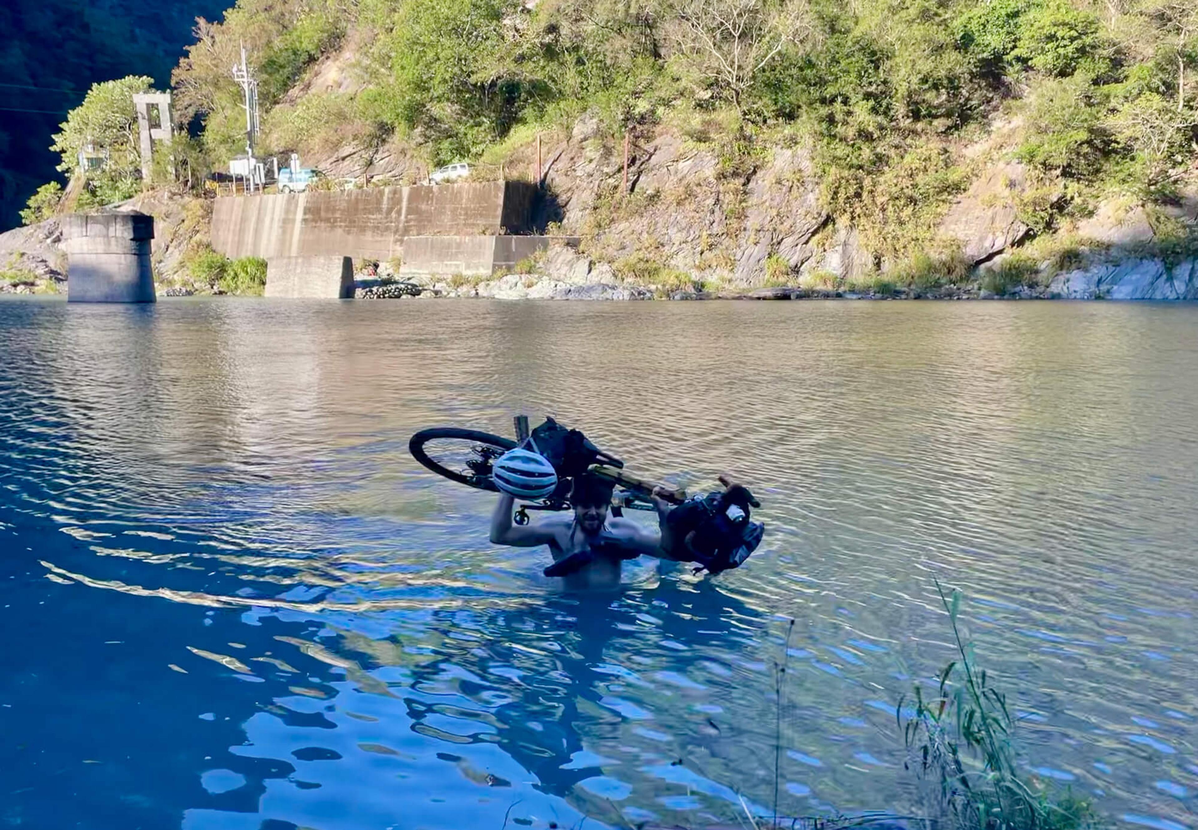
The guys and I started to make our way down to the river to strip down. At this point, I was quite happy my Outback was as lightweight as I could make it. I swapped over to running shoes and put my bike on my back. I started walking across and within 10 seconds, my legs were numb from the cold water, which was up to my chest. After reaching the other side, I immediately took off the cold clothing and thew on my cycling kit and shoes.
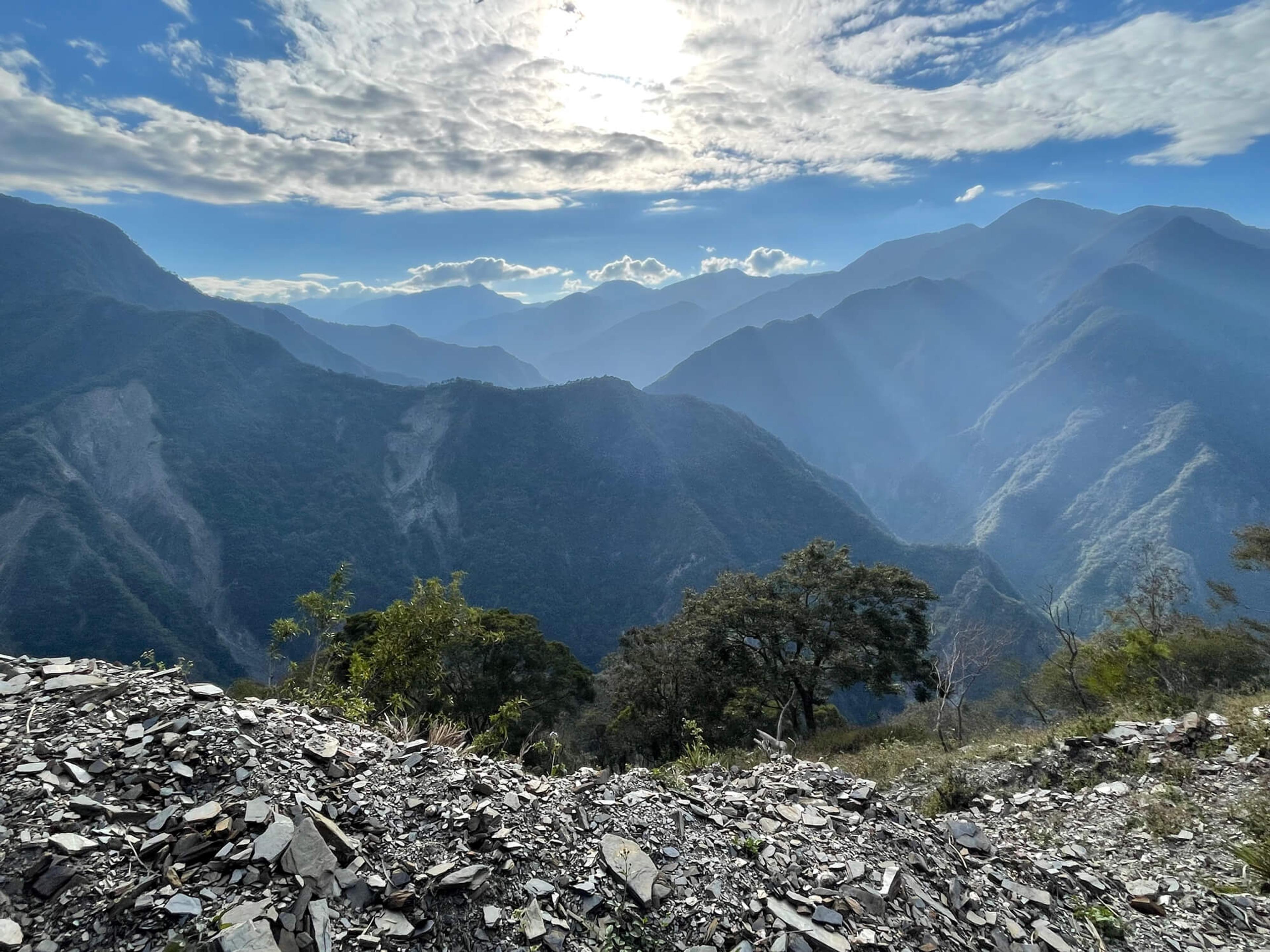
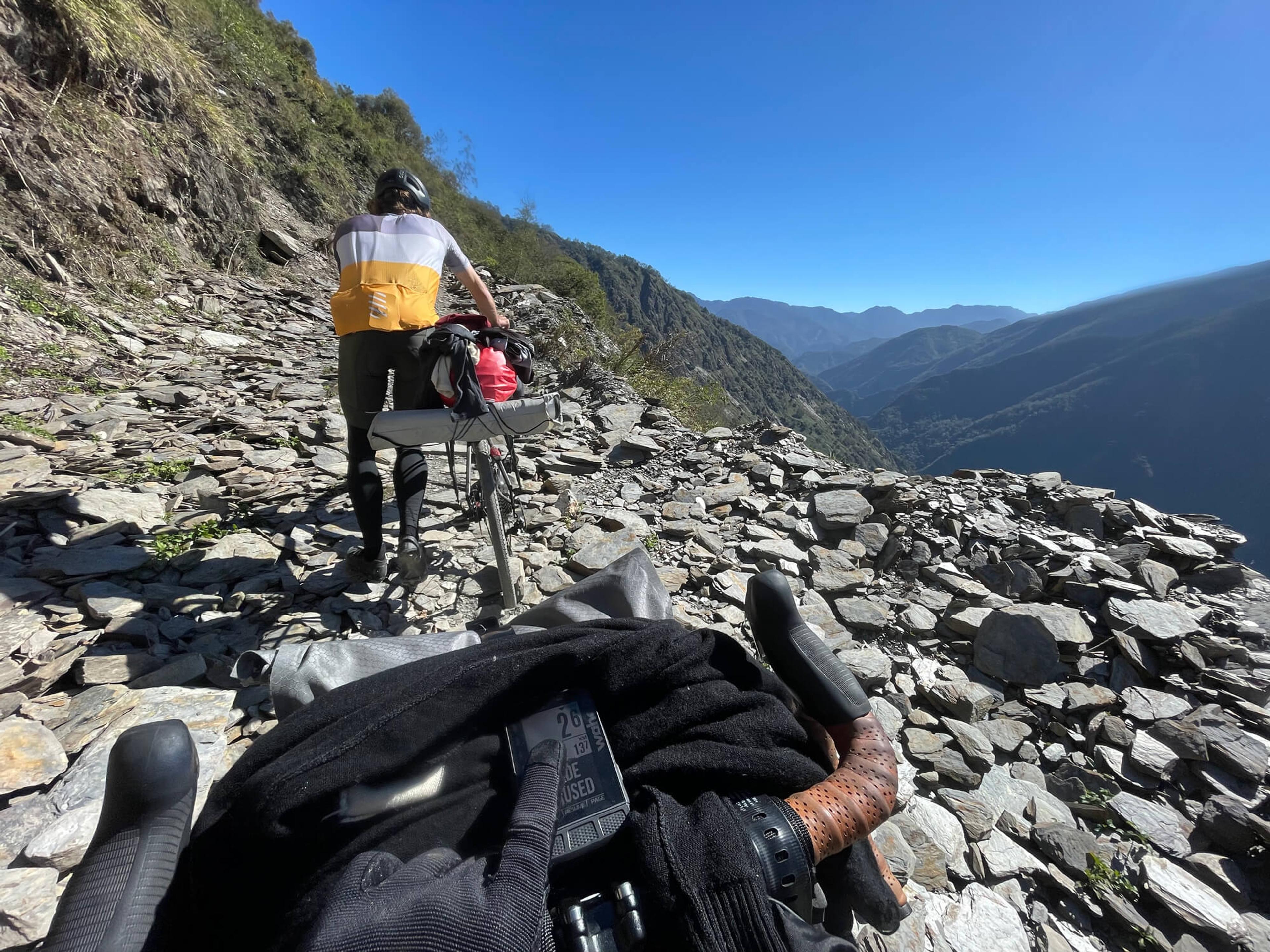
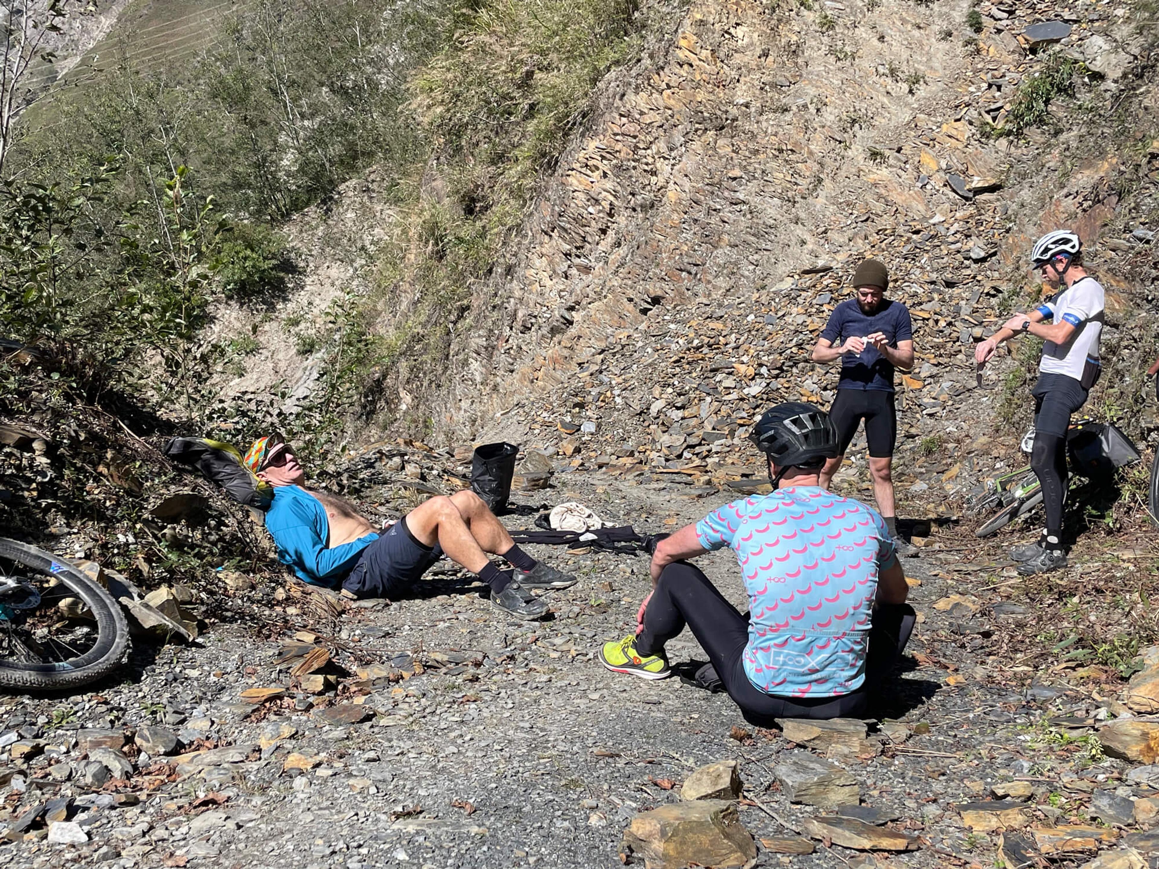
The next 5km was extremely steep and littered with steep sections of slate rock, and some parts of the road were completely gone. After reaching the checkpoint station, we walked through the gate and were welcomed with some smooth dirt singlerack. As we continued to climb, we decided to walk our bikes over some of the landslide rock sections to conserve energy. We were only at 1,200m and had another 1,200m to climb over the next 19km.
We took a break at the second checkpoint station, finally reaching 2,400m and the end of a grueling climb. We still needed to reach the end before dark to setup camp - it was already 1:30 p.m.
We took full advantage of the next 400m of downhill singletrack. Even fully loaded at 18kg, I was able to throw the Outback around nicely in the turns and plow through rock gardens without issue. In a few places with deep mud, the weighted front end gave me a scare, but I was able to quickly recover. This route had every type of trail condition you could think of; mud, river crossings, rock gardens, sand, broken road, but the bikes kept going.
After that very welcome descent, we had to go up another 400m. Thankfully, it was much more steady and easy going than the first part of the trail. Nearer to the top, the scenery changed again, and we now found ourselves in a very wild part of the trail with invasive pants that not only hid the path but hit us in the face as we tried pass - it was quite annoying. Back up towards 2470m, I started to encounter how cold it was going to be that night: the mud puddles in the shade had a thin layer of ice and a satisfying crunch as you went through it.
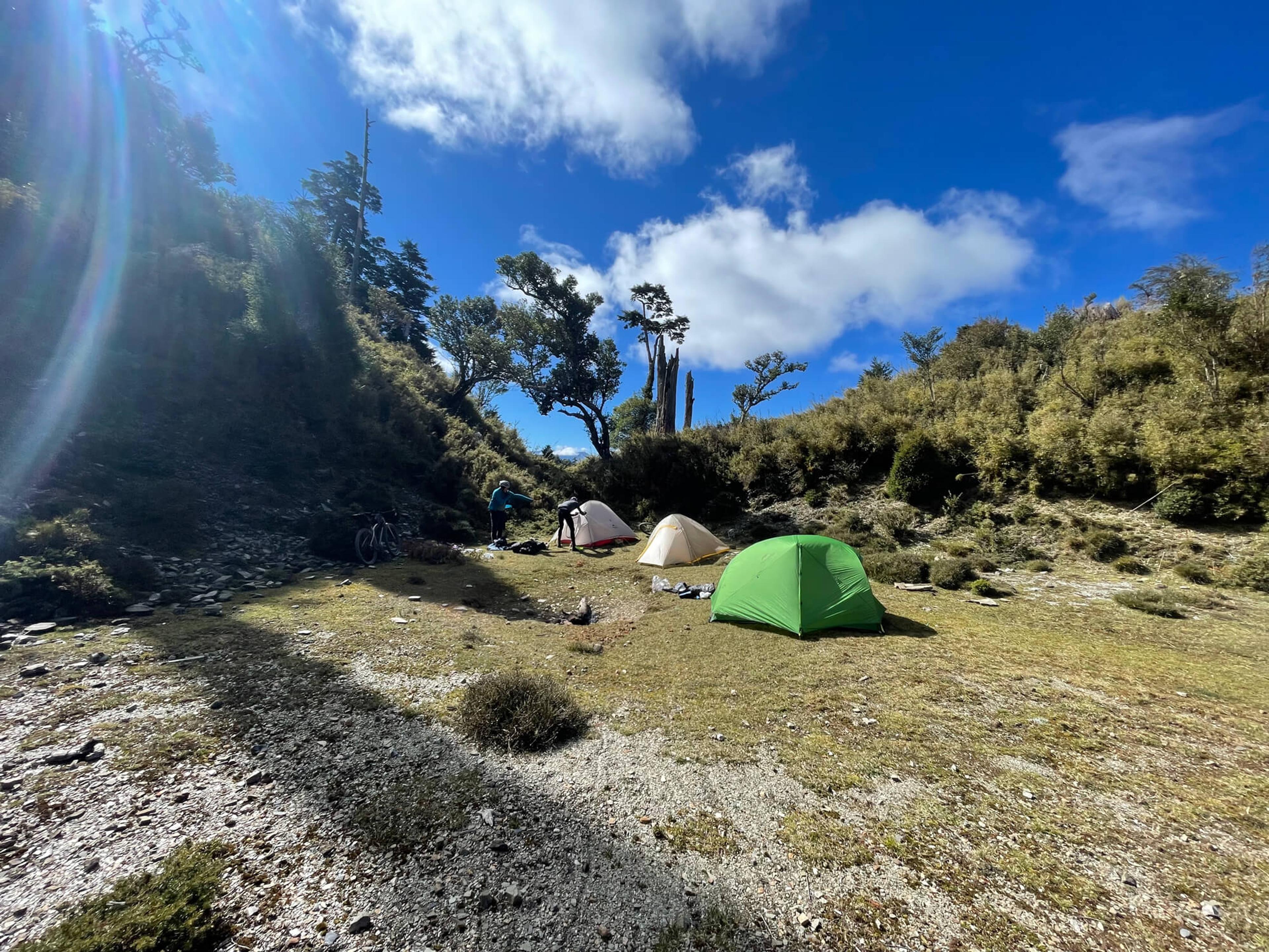
Just a bit beyond the 2470m mark, my friends ahead of me found a campsite nearby. We were above the clouds at this point and it was nearing sunset – it was going to be very dark and cold very soon. I decided to continue to the top with only 250m left to climb and 5.5km to go. I made it to the very top as darkness immediately fell. I grabbed some water from a nearby pond and headed back down to camp.
We got a small fire started for warmth and soon got into our tents. The temperature read -10C outside, -2C in the tent, and 15C in the sleeping bag. I went to sleep wearing everything I brought with me.
That morning, we woke up to all our possessions covered with frost and ice. We left all the camping gear, grabbed our cooking kits, and moved to the end of the trail for breakfast.
At 2951m, we made it to the very end and top of the trail. This was the point where Taiwan’s second highest lake resides, alongside the massive hydroelectric project that moves excess power from Hualien to the other side of Taiwan - making these power lines some of the highest in southeast Asia. Naturally, we took photos at every monument and scenic spot.
We headed back down to camp, being sure to leave no trace. We packed everything tightly for the long decent and headed off. There is nothing like chasing your buddies along a technical singletrack through rocks and obstacles. Letting go of the brakes gave the feeling of the bike surging with speed over the rocks.
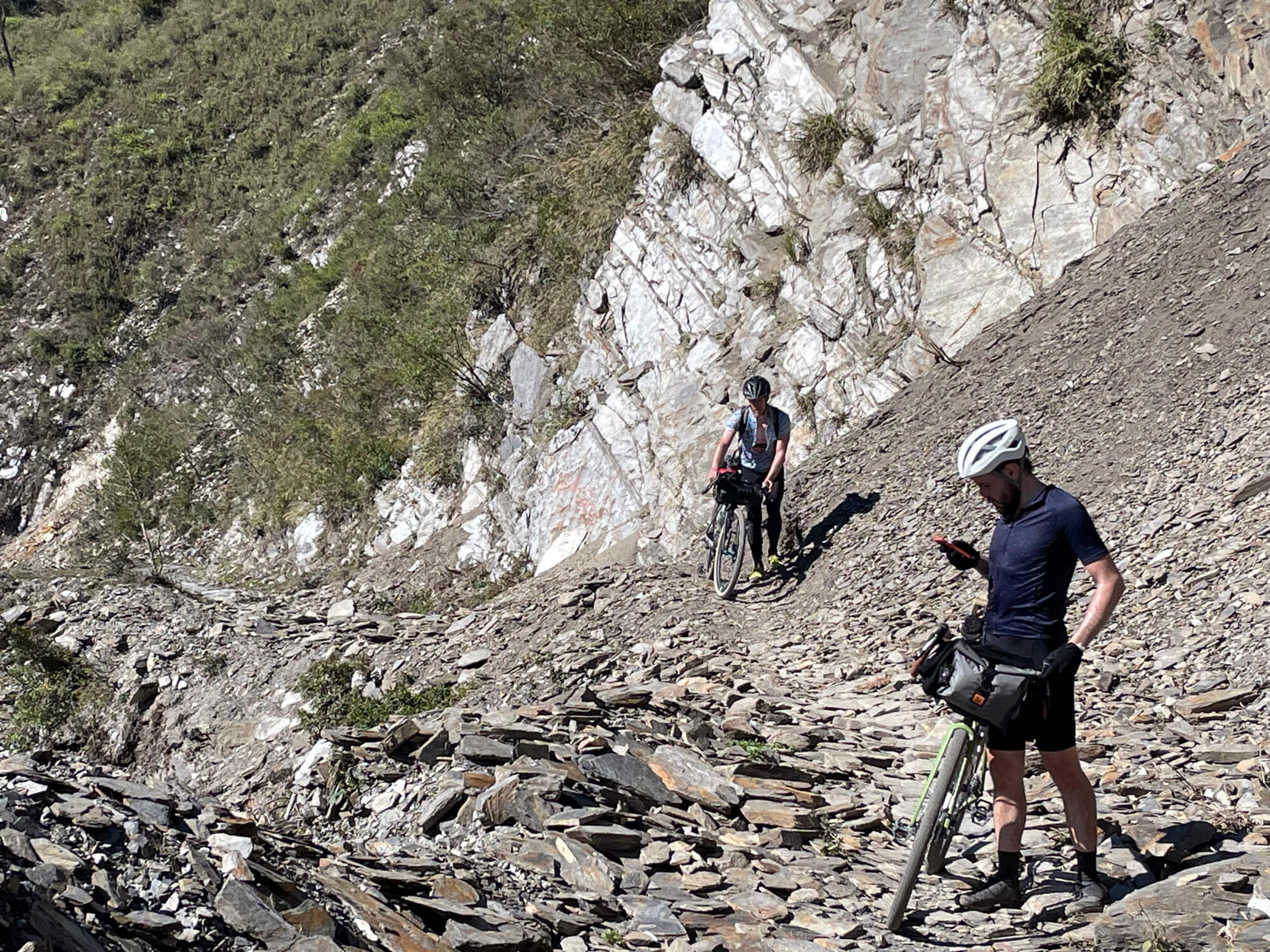
Avoiding a flat or crashing on the descent was pure luck as you would let the bike guide you down the narrow tracks, skipping over the sharp rocks. But inevitably, luck evaded a few of the guys as they caught flat tires on the way down. As we continued to descend, some sections that we had to previously walk over were now fun technical downhill sections. After the last checkpoint, the rocks on the road were barely a trail - just pushed away in some spots to give you a small chance of getting through.
Reaching the river, we immediately saw that it was more shallow than when we first crossed it. We grabbed the shoes we hid the day before and walked across – with the water only reaching our knees this time. It was another 3km uphill to our cars at the farmstead.
And with that, our adventure was complete.
Danda Facts:
- 56.9 kilometers (35.3 miles), one way
- 3083 meters (10,115 feet) of climbing, one way
- 1000 meters (3281 feet) descending, one way
- Highest point 2951 meters (9682 feet)
- Temperature when starting 12C (53F)
- Temperature at night -10C (14F)
- Time to complete distance 8h 50min
- Weight of bike fully packed 18.5 kilograms (40.78 pounds)
- Strava Route
Related articles
Join now for engaging stories, exclusive offers and product news delivered right to your inbox.